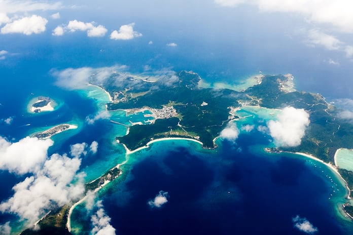
The Geospatial Information Authority of Japan (GSI) is currently making the final adjustments to the new data in order to officially announce the “finds” soon. Although the final figure is still subject to change, the country’s territory will include around 14,000 islands instead of the previously recorded 6,852.
The doubling of the family of Japanese islands is explained by the positive impact of innovative technologies. The fact is that during the last count in 1987, the local coast guard literally manually recorded the number of islands on the map in sea waters.In recent years, authorities have faced a wave of criticism: many felt that data from the last century was outdated and wrong. In 2021, an MP from the ruling Liberal Democrat Party called the precise understanding of the number of islands a “significant administrative problem” and called for their recount in the name of “the national interest”.As a result, the computer analyzed the digital earth map and recorded 100,000 islands. Then the experts got to work and compared the information with old aerial photographs and archival data in order to cross off the list of man-made lands.Moreover, the minimum circumference of a full-fledged island, as 35 years ago, was equal to 100 meters – very small plots of land had to be excluded from the list.However, according to a source from Kyodo News, an increase in the number of islands due to their small size is unlikely to significantly affect the area of Japan and its territorial waters. Nevertheless, new numbers will end up on the pages of school textbooks, and will also find application in the scientific field.


